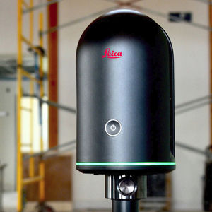
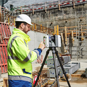
Leica ScanStation P-Series 3D laser scanners are your perfect partner when capturing 3D geometry of civil infrastructure, creating an as-built representation of a large industry complex, reconstructing a crime scene or generating 3D data for integration into Building Information Modelling (BIM).
Delivering highest quality 3D data and HDR imaging at an extremely fast scan rate of 1 mio points per second at ranges of up to 270 m. Unsurpassed range and angular accuracy paired with low range noise and survey-grade dual-axis compensation form the foundation for highly detailed 3D colour point clouds mapped in realistic clarity.
Reducing downtime, the extremely durable 3D laser scanners perform even under the toughest environmental conditions, such as extreme temperatures ranging from – 20°C to + 50°C and comply with the IP54 rating for dust and water resistance.
Leica Geosystems 3D laser scanners deliver:
Highest quality 3D data and HDR imaging
Extremely high speed scan rate of 1 mio points per second
Ranges of up to 270 m
Low range noise
Survey-grade dual-axis compensation
Highly detailed 3D colour point clouds mapped in realistic clarity