Geographic Information System (GIS) software GEOSPATIAL PORTALfor steel structures


Add to favorites
Compare this product
Characteristics
- Function
- Geographic Information System (GIS)
- Applications
- for steel structures
Description
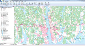
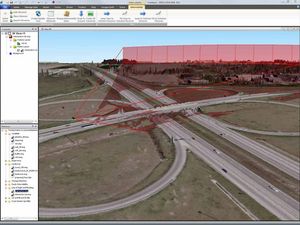
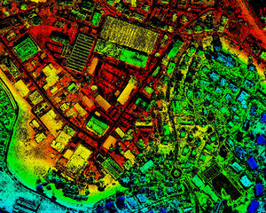
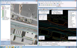
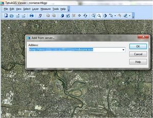
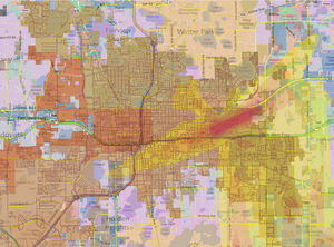
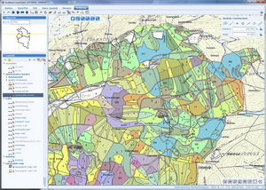
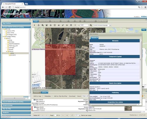
Geospatial Portal is a full-featured, configurable web application that can be used for finding, viewing, querying, analyzing and consuming geospatial data and web services published by Intergraph or third party products. It offers advanced client-side discovery, connection, and interaction through a simple client geo-browser that provides an intuitive and attractive user experience. In addition, Geospatial Portal integrates multiple sources into a single map view that can be easily navigated.
Out-of-the-Box, Complete Web Application
Geospatial Portal is a ready-to-run, multilingual web application that simplifies the process of sharing your enterprise geospatial data and web services. Its inherent flexibility enables connection to a variety of web services based on open standards, proprietary services, and also directly to geospatial data stores.
Harmonized Front End for Intergraph Geospatial Server Products
With a modernized user interface and an optimized look for PC, mobile, or tablet, Geospatial Portal is the integrated client supporting all browser-based geospatial server products in the portfolio including ERDAS APOLLO, GeoMedia WebMap and Geospatial SDI.
VIDEO
Catalogs
No catalogs are available for this product.
See all of Intergraph‘s catalogsRelated Searches
- CAD software
- 3D software
- Management software
- Analysis software
- Steel structure software
- 2D software
- 2D/3D object library
- Architecture software
- Computer-aided engineering software
- Electrical installation software
- Project management software
- Simulation software
- Mapping software
- Project simulation software
- Sustainable design software
- Image editing software
*Prices are pre-tax. They exclude delivery charges and customs duties and do not include additional charges for installation or activation options. Prices are indicative only and may vary by country, with changes to the cost of raw materials and exchange rates.


