Mapping software ERDAS EXTENSIONS FOR ARCGISfor steel structures


Add to favorites
Compare this product
Characteristics
- Function
- mapping
- Applications
- for steel structures
Description
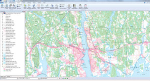
Intergraph offers image processing and feature collection extensions that expand the core capabilities of the ArcGIS platform. These extensions include:
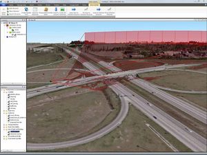
Stereo Analyst for ArcGIS: Create and maintain comprehensive databases of feature data using stereo visualization, which lets you distinguish the features in your imagery faster and more easily , and increases the accuracy of the features that you collect.
Intergraph provides two add-ons for Stereo Analyst for ArcGIS:
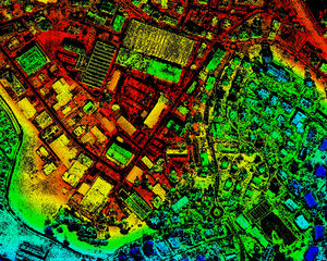
ERDAS Terrain Editor for ArcGIS: Update Geodatabase Terrain datasets.
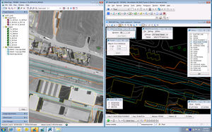
FeatureAssist for ArcGIS: Collect roof structures in the ESRI Multipatch format.
ECW for ArcGIS Server: Use ArcGIS for Server to deliver enhanced compression wavelet (ECW) data to clients via OGC-compliant Web Coverage Services (WCS) and Web Map Services (WMS).
VIDEO
Catalogs
No catalogs are available for this product.
See all of Intergraph‘s catalogsRelated Searches
- CAD software
- 3D software
- Management software
- Analysis software
- Steel structure software
- 2D software
- 2D/3D object library
- Architecture software
- Computer-aided engineering software
- Electrical installation software
- Project management software
- Simulation software
- Mapping software
- Project simulation software
- Sustainable design software
- Image editing software
*Prices are pre-tax. They exclude delivery charges and customs duties and do not include additional charges for installation or activation options. Prices are indicative only and may vary by country, with changes to the cost of raw materials and exchange rates.


