Image editing software ERDAS ER MAPPERfor steel structures


Add to favorites
Compare this product
Characteristics
- Function
- image editing
- Applications
- for steel structures
Description
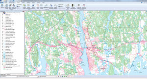
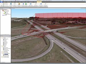
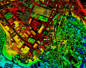
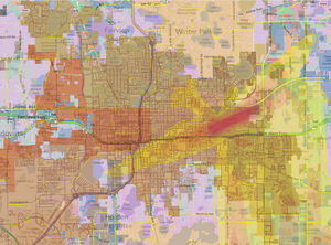
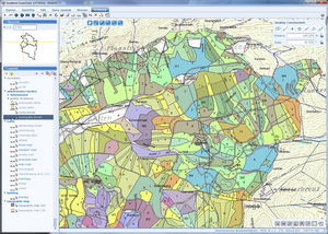
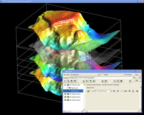
ERDAS ER Mapper provides advanced image processing and compression capabilitiesgeared toward the oil, gas, and mineral exploration industries. It allows you to visualize, enhance, and combine images to extract the quantitative information you need to solve business problems.
Wizard-Based Interface
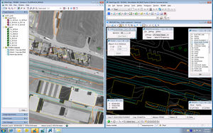
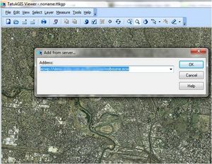
ERDAS ER Mapper simplifies your workflow with wizards for mosaicking, color balancing, compression, geocoding, and more. It also enables you to create your own wizards.
Dynamic Image Processing
ERDAS ER Mapper lets you quickly perform, modify, and repeat complex image processing tasks with minimal demand on hardware resources. Using this approach, ERDAS ER Mapper can mosaic hundreds of files, and compress the mosaics to meet industry standards.
Unlimited JPEG2000 and ECW Compression
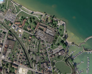
ERDAS ER Mapper accelerates your data preparation, storage, and distribution processes, increasing the amount of data you can easily manipulate. ECW compression can shrink the size of your imagery to just 5% of its original size. JPEG2000 compression lets you compress your imagery to 25% of the original size while keeping the underlying spatial data mathematically identical to the original data.
More Tools for Your Money
ERDAS ER Mapper comes with the professional-level tier of ERDAS IMAGINE, providing you with a full production toolset for advanced spectral, hyperspectral, and radar processing, as well as spatial modeling.
Catalogs
No catalogs are available for this product.
See all of Intergraph‘s catalogsRelated Searches
- CAD software
- 3D software
- Management software
- Analysis software
- Steel structure software
- 2D software
- 2D/3D object library
- Architecture software
- Computer-aided engineering software
- Electrical installation software
- Project management software
- Simulation software
- Mapping software
- Project simulation software
- Sustainable design software
- Image editing software
*Prices are pre-tax. They exclude delivery charges and customs duties and do not include additional charges for installation or activation options. Prices are indicative only and may vary by country, with changes to the cost of raw materials and exchange rates.


