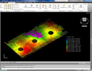
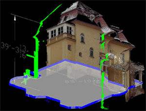
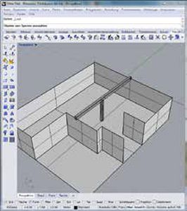
Structured CAD data
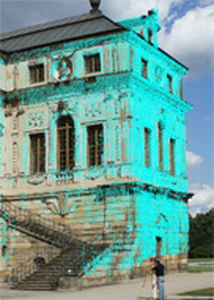
Damage Visualisation
Action planner
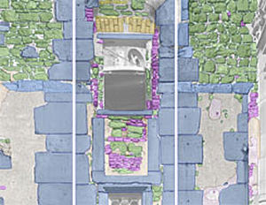
Mapping of damages and findings
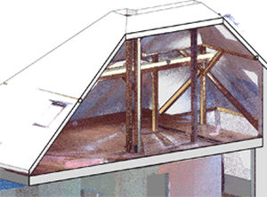
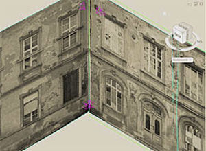
MonuMap is the software solution for mapping existing building conditions. It is widely used in the fields of building research, heritage and archaeology. Rectified images, scanned drawings or measured elevations serve as the basis. The image rectification can be done directly inside MonuMap.
Typical mapping themes are:
Inventory Mapping - objects such as bricks, stones or tiles are documented with their material, age or color
Damage - damage visualization and manifestations– usually documented with hatches
Action plan - methods intended for maintenance or repairs are listed in the plan.
Advantages:
Structured data about building conditions
Automated visualisation
Overview of damages with corresponding action plan