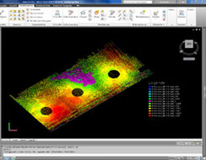
evaluation of laser scan data with or without CAD
Load large data sets or full scan projects quickly.
Send coordinates and distances directly into any Windows software.
Send customized commands to AutoCAD / AutoCAD LT and similar CAD packages
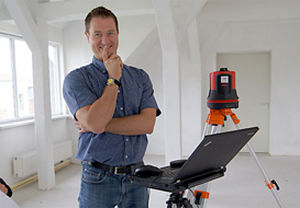
Do you use laser scanning for fast data collection? But find point clouds too confusing? Looking for a fast and easy workflow? Want to start without training?
VirtuSurv is the solution
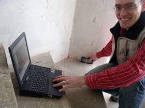
Fast loading through an optimized file format
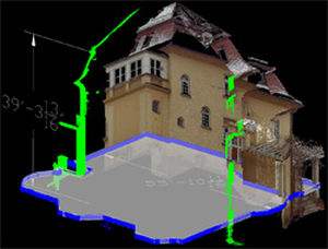
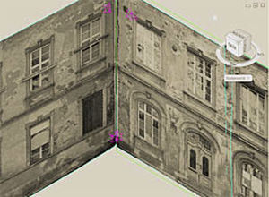
Fast and intuitive navigation within photo-like scan views
Transfer of measurements into your forms and databases
Direct interface to CAD and other Windows applications
No bulky point clouds inside your CAD
Support of your familiar workflows
Support of numerous scan data formats
The software can be used anywhere measurement data needs to be extracted from laser scans.
Areas of application are for example:
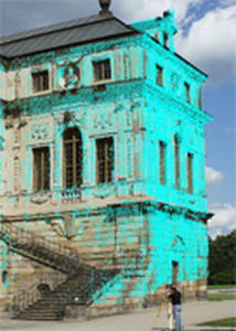
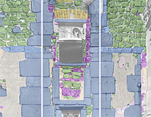
Collection of as-built data for the preservation of historical monuments, construction and architecture
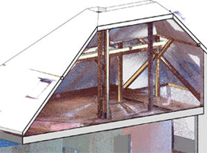
Measurements for window construction, interior fittings, interior design, etc.
Survey of industrial facilities
Archaeological excavation documentation
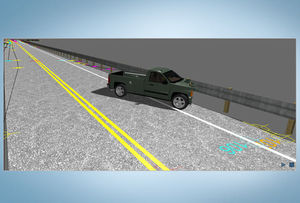
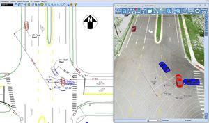
Accident and crime scene documentation
Preservation of evidence